Some deliveries may take a little longer than usual due to regional shipping conditions.

DOWNLOAD THE APP


Customer Services
Copyright © 2025 Desertcart Holdings Limited
DOWNLOAD THE APP
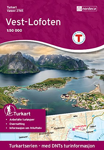
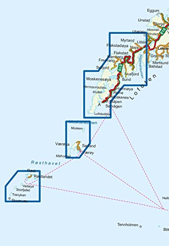
Hiking map that covers: Flakstadøya, Hermannsdalstinden, Lofoten, Lofotodden, Mosken, Moskenesøya, Moskstraumen, Ramberg, Reine, Røst, Skomvær, Sørland, Sørvågen, Værøya, Å Maps information Scale 1:50 000 Plastic material. (Tear and waterproof) Accommodation information (Cabins) Hiking trais Usefull hiking information for the area from the Norwegian trekking assosiation The National TurkartSeries from Nordeca (Walking maps) This collection of national walking maps consists of over 200 maps and covers the most popular walking and hiking areas of Norway. The maps are adapted for each specific area, and contain hiking trails, cabins and local touring information. The maps are available in the following scales 1:25 000, 1:50 000, 1:100 000.
Trustpilot
1 week ago
2 weeks ago
2 weeks ago
2 months ago