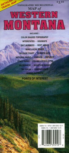
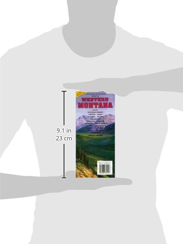
Topographic full color map of Western Montana is scaled at 1" = 12.5 miles. Elevation contours each 1,000 feet (color shaded each 2,000 feet at higher elevations) portray the general geography. Also shown are national forests, wilderness areas, campgrounds, parks, state game and fish areas, ski areas, mining districts, points of interest, and more. More roads are shown than on typical highway maps. Much printed information is also included. Maps fold to approximately 4 1/8" x 9".
Trustpilot
1 month ago
1 day ago
2 months ago
2 days ago