
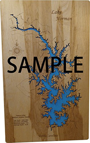
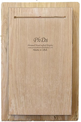
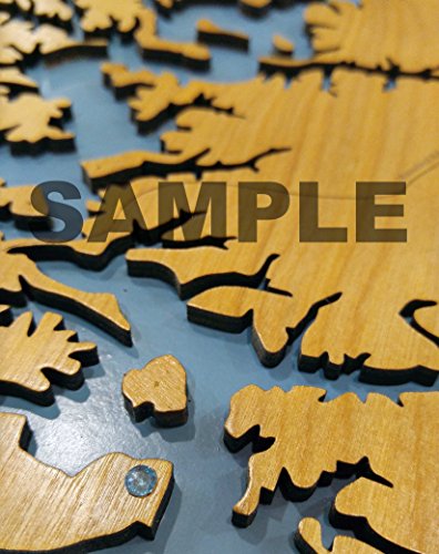
This is a beautifully detailed, laser engraved and precision cut topographical Map of Lake Palestine in portions of Anderson, Cherokee, Henderson, and Smith Counties, Texas with the following interesting stats carved into it: Surface Area: 25,560 Acres, Max. Depth: 58 Feet, Avg. Depth: 16 Feet, 18 Miles Long, 135 Miles of Shoreline. This stand out map is mounted onto a tranquil blue background with a key hole cut on the back and is ready to hang. Available in three sizes. Interesting factoid: The dam is owned and operated by the Upper Neches River Authority for industrial, municipal, and recreational purposes. Construction of the original dam was started in 1960 and was completed on June 13, 1962; an enlargement project was begun in 1969 and completed on March 3, 1972. Lake Palestine is formed by an earthfill dam some 5,720 feet long and is used for water conservation, recreation, and wildlife preservation. The crest of the spillway is 345 feet above mean sea level. (Not all of this information made it onto the map, we just love to read up on the lakes we design). All maps include special points of interest laser engraved into the map face and come with a beautiful blue self-adhesive Swarovski Crystal to mark your preferred location on the map. Each map is a beautiful artistic handcrafted work of art using the finest woods with special attention to every detail. Due to the natural variation in wood grain, each map will vary slightly in finish and color. Birch is our wood of preference. Once the map is cut and engraved we hand sand multiple times, assemble and clear coat them for a lustrous wood shine. We believe that this personal attention each and every item receives makes each wooden item a unique work of art. Made in the USA by American workers in an American owned business. Please note on smaller maps (13 x 16 and 14 x 17 framed) it may be hard to read road names and if the lake has islands they will not be included.
Trustpilot
2 weeks ago
1 month ago
