
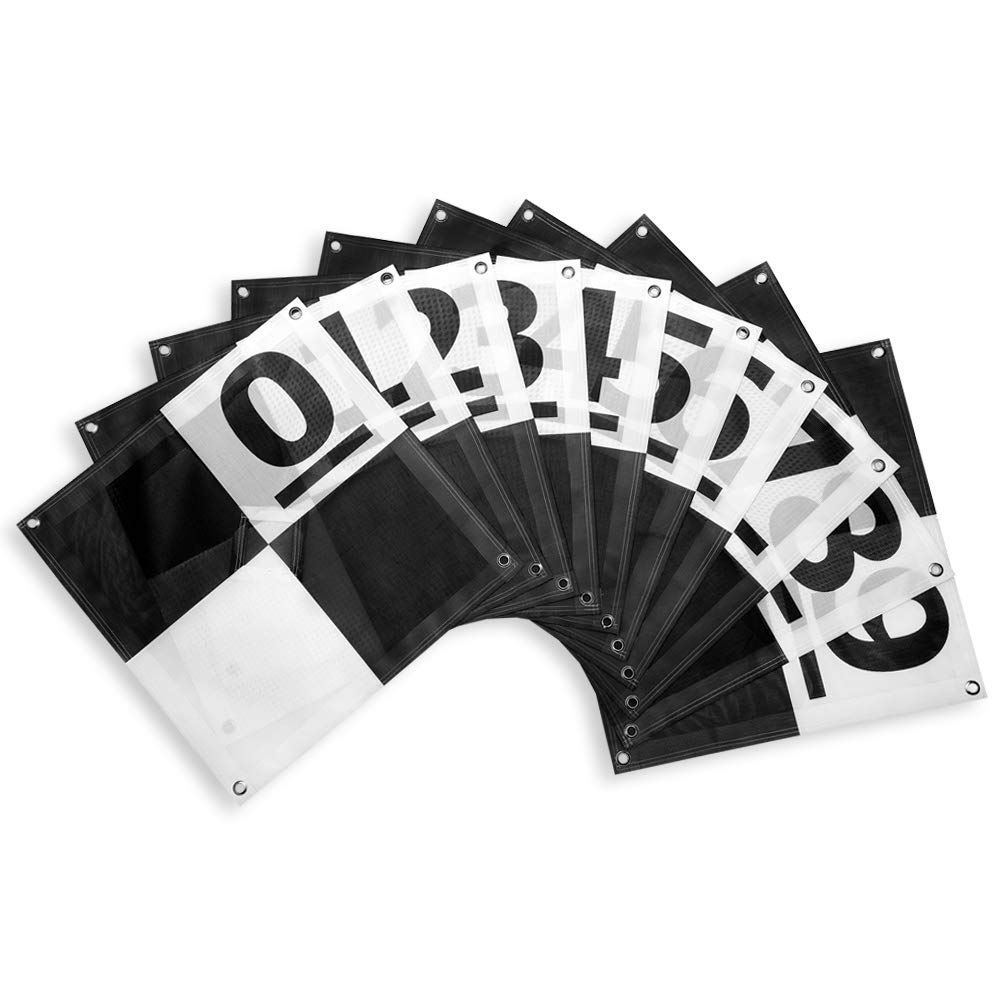


Finally a better alternative to homemade Ground Control Points (GCPs) to fulfill any UAV drone mapper's needs. With a unique center passthrough design, this GCP can be used on already established survey points, which enables mapping to be performed after a surveyor has already taken coordinates. Simply place the survey marker through the 3" x 3" center cutout of the GCP to perform precise aerial mapping with pre-established coordinates. The GCP can also be used via a more traditional approach with the center flaps covering the cutout, enabling centimeter level precision mapping. The cutout flaps provides a center point to shoot your own coordinates, with an open center to place your rod, decreasing the chances of puncturing the GCP. The 24" x 24" design enables easy transport and storage of the GCPs as well as a scale to use when reconstructing your map. With 4 tie down points, the GCP is also easy to keep in position, even on the windiest of days. New for this iteration, a number system has been implemented for more efficiency in the field. With numbers 0-9 presented on one square of the target, users can easier identify their targets from the air. If needed, additional numbering or letting can be added in the other square using a permanent marker, which enables numbering from 0-99 if needed.
K**R
A must have for drone photo control
These worked great, I have only flow 2 sites with them but they were easily visible at 150-200 foot height. I ordered they grey and had no problems. The center has small flaps so you can set a control point perfectly in the center, the grommets on the corners allow you to pin it down to the ground easy.
J**P
Good value for the money.
Works very well. I ordered several sets, painted a colored circle in one box to identify which set. Good value for the money. Works with Pix4D software.
C**L
Nice and portable
You have to use small tent stakes with these, but they fold up to be 12"x12" and fit in my camera backpack. I set two of them 20 feet apart (measured from the center) when I do my aerial mapping. Good build quality.
C**S
Clearly visible from 400ft!
These rock! Excellent, highly visible for UAV Ground Control Points. Ditch the bucket lids. Pay the extra cost get the numbered version, its worth it.
A**S
The black and white version was poorly made. Eyelets not centered on target.
Hoping that the manufacturer improves their quality control. Eyelets on many of the black and white version in the set that I bought were off-center. Waiting to see what the manufacturer has to say before ordering other products from that source.
O**O
Great tool
Great service. Great item
Trustpilot
2 weeks ago
4 days ago